REMOTE SENSING: PHOTOBOOK
Description
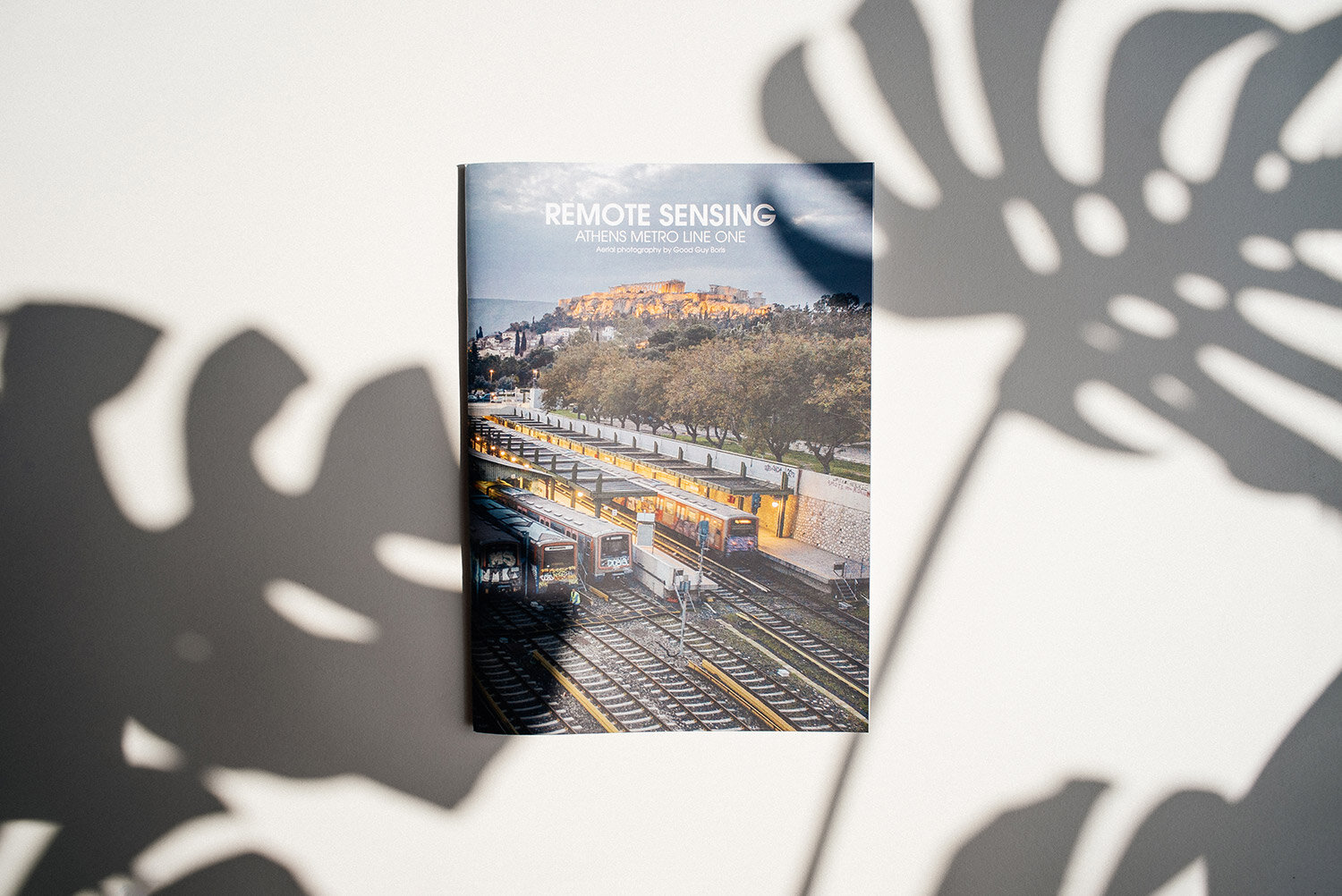
REMOTE SENSING
ATHENS METRO LINE ONE
AERIAL PHOTOGRAPHY BY GOOD GUY BORIS
PHOTOBOOK
The photobook includes a selection of the best aerial photography of Line-1 remote, taken during the drone espionage of the railway infrastructure and its security surveillance. The photobook also exhibits the best train-spotting vantage points, as well as documentation of the top-to-bottom painted rolling stock of the historic line in its scenic landscape backgrounds.
Inaugurated on 27 February, 1869, the historic Line 1 of the Athens Metro is the oldest of its three lines, constituting a modern rapid-transit system. With a total length of 25.6 km & 24 stations, Line 1 begins from the seaport of Piraeus and traverses through Athens’ heart, and finishes at Kifisia — a posh suburban locality.
Inaugurated on 27 February, 1869, the historic Line 1 of the Athens Metro is the oldest of its three lines, constituting a modern rapid-transit system. With a total length of 25.6 km & 24 stations, Line 1 begins from the seaport of Piraeus and traverses through Athens’ heart, and finishes at Kifisia — a posh suburban locality.
While journeying on Line 1, the diverse & picturesque landscape of the surroundings offers a multitude of picture-taking opportunities; including natural landscapes, chaotic urban infrastructure, and most significantly, the world-famous ancient monuments. All the train carriages of Line 1 are completely covered with graffiti from top to bottom. Rolling for the last ten years, these graffiti-laden carriages give a tribute to innumerable local & international—alive or deceased—artists, thereby leaving their indelible mark on the steel carriages.
The combination aforementioned, the yearning to learn the line’s infrastructure, the pinpointing of its train-spotting locations, and learning its security surveillance system - gave birth to the idea of the Remote Sensing project.
The project encompasses a collection of various artworks — all related to the Line-1. The multisensory experience is produced by utilising various multimedia forms, created using numerous aerial videos, pictures, and audios. The project offers the following:
- Limited edition signed & numbered fine-art photo prints.
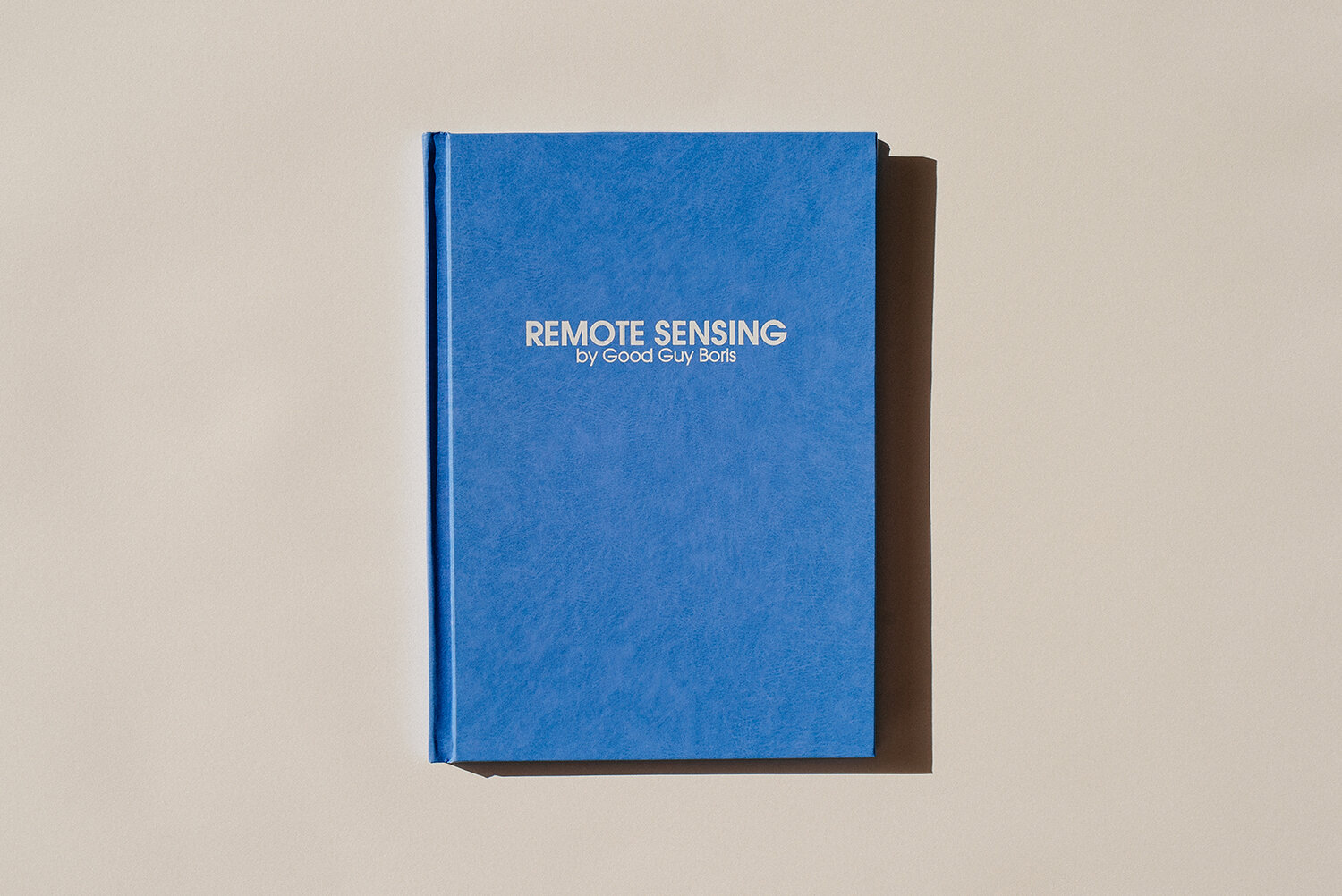
- Collector edition signed & numbered photobook.
- Photobook.
- A song inspired & produced from the sounds, and the process of remote sensing of Line 1.
- Music video created from the best aerial video recordings.